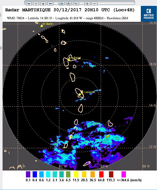
A south easterly to easterly (SE-E) low level wind flow pattern was observed this afternoon at the Argyle International Airport(A.I.A) due to a low to mid level shearline to the north of the island chain .This wind flow pattern would briefly continue into tonight before the winds become predominantly from the east again. A decrease in wind speeds was notable also. This instability as well as a trough moving across the island chain would result in some scattered showers with the possibility of a few periods of rain for the next 48hours. The Atlantic Ridge of high pressure is forecast to regain dominance around Tuesday afternoon.

{aridoc width="800" height="1000"}images/pdf/article_pdf/Weatherupdate/30th-December-2017_6pm-Weather-Report.pdf{/aridoc}
