
According to SVG Meterological Services;
"An abundance of moisture will be over Saint Vincent and the Grenadines over the next 3 days resulting in a high chance of showers and isolated thunderstorms."
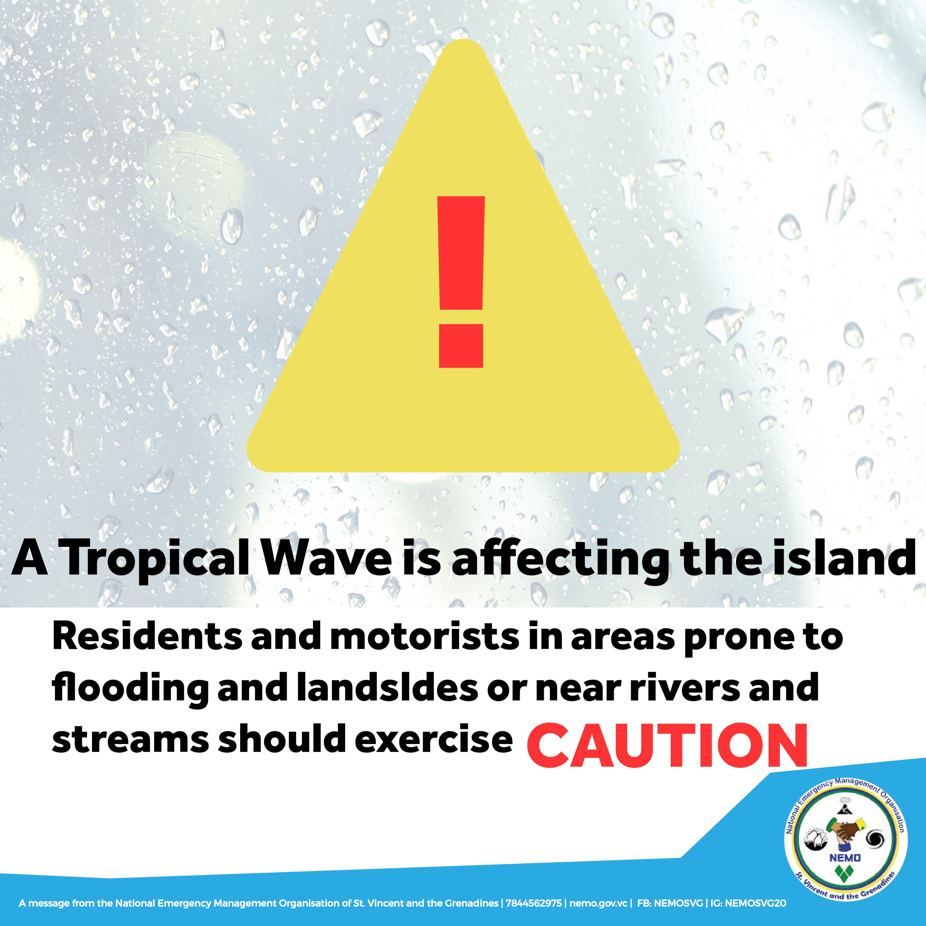
Currently a tropical wave affects the islands producing cloudy skies and pockets of moderate showers, with further instability affected by ITCZ activity to the south.
These conditions are expected to persist for the next 72 hours.
Winds are forecast to blow from the south east (SE) to east southeast (ESE) at 15km/h-25km/h. Seas are forecast to be smooth to slight in open waters, with swells peaking at 0.5m on the western coasts and 1.0m on the eastern coasts. In addition, there will be no significant haze intrusion within this forecast period.
The national Emergency Management organization advises residents of flood prone and low lying areas to exercise caution, with a special emphasis on communities north of the Rabacca dry river as mud-flow/Lahar activity is heightened in these conditions.
Please continue to monitor Weather Reports from SVG Met Services to stay informed.