
A FLASH-FLOOD WATCH IS IN EFFECT FOR ST VINCENT AND THE GRENADINES UNTIL 6 PM 23rd AUGUST 2021
Issued at 6:00 pm, Sunday 22nd August, 2021
Cloudy to overcast skies, frequent pockets of moderate to heavy showers, periods of light rain and scattered thunderstorms are anticipated across St.Vincent and the Grenadines due to the passage of a tropical wave. Rainfall accumulations of 75 - 100mm (approximately 3-4 inches) with isolated higher amounts in mountainous areas are possible during the next 24 hours.
Due to the already saturated nature of the soils, any additional rainfall could lead to additional flooding and land slippage.
As a result, the flood advisory that was already in effect for a low risk of flooding has been upgraded to a Flash-Flood watch for St. Vincent and the Grenadines until 6:00 pm, Monday 23rd August 2021. Residents and motorists in areas prone to flooding and landslides or near rivers and streams should exercise extreme caution.
In addition, wind speeds ranging between 30 - 50km/h or (19 - 31mph) are anticipated as this tropical wave crosses our islands. These near gale speeds would agitate the ocean surface and cause sea conditions to become moderate (1.5m – 2.5m). Therefore, small craft operators and sea bathers should exercise extreme caution for above normal sea swells and gusty winds and reduced visibility due to heavy showers.
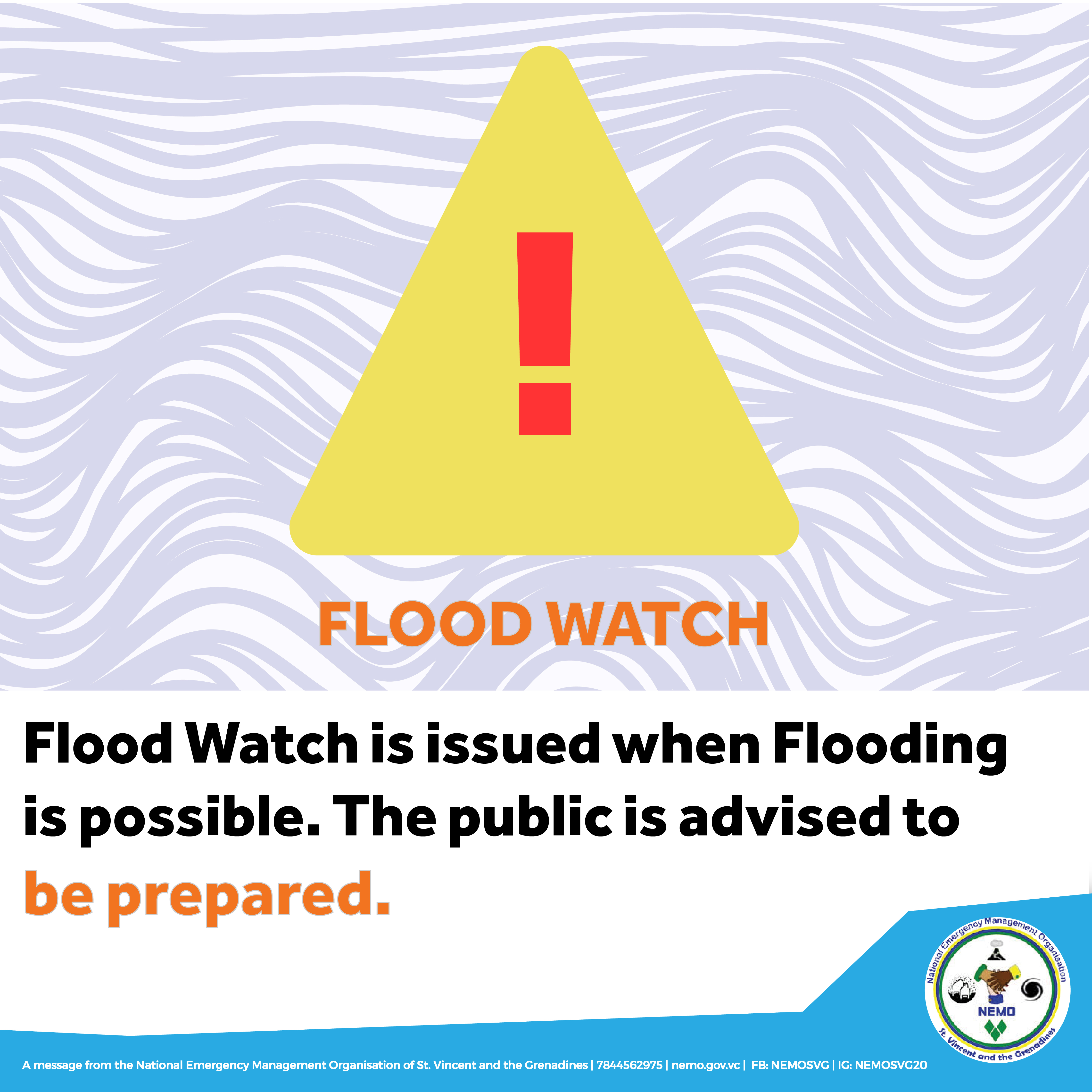
A Flood-Watch is issued when conditions are favourable and there exists the possibility of flooding during the watch period.
This flash-flood watch may be upgraded to a warning if conditions warrant.
Additionally, according to SVG MET SERVICES:
Instability associated with the Inter-Tropical Convergence Zone(ITCZ) ahead of a tropical wave triggered occasional showers across Saint Vincent and the Grenadines earlier today(Sunday). Additional activity is expected to intensify from tonight and along Monday as the aforementioned wave affects our islands. A flash-flood watch is in effect for SVG as of 6pm today, 22nd August 2021 and would remain in effect until 6pm Monday 23rd August 2021. Residents and motorists in areas prone to flooding and landslides or near rivers and streams should exercise extreme caution. Model guidance suggests showers could linger into Tuesday and Wednesday as the atmosphere is expected to remain moist. The upper-level atmosphere would also become occasionally favourable and support pockets of deep showers within the next 72 hours. The SVG Meteorological Service will continue to monitor the progress of the wave and provide the necessary updates.
Occasionally strong(near 40 km/h) easterly to east north easterly trades will move across the islands tonight, increasing to near gale(50km/h) by Monday. Winds speeds could temporarily decrease(20 -35km/h) on Tuesday before becoming strong again and east south easterly by Wednesday evening. Consequently, seas are currently moderate in open water peaking near 1.5m on western coasts and up to 2.5m on eastern coasts. Rough conditions are possible since near gale wind conditions are anticipated. Small craft operators and sea bathers should exercise extreme caution for above normal sea swells and gusty winds and reduced visibility due to heavy showers. Varying concentrations of Saharan dust haze will linger across the island chain during the next 72 hours period.
Prepared by:
Mr. Gregory Cato
--
Meteorological Services.Argyle International Airport,St. Vincent & the Grenadines
Phone: (784) 458-4477Fax: (784) 458-0868
Web: www.meteo.gov.vc